Why "Small" Doesn't Mean "Simple"
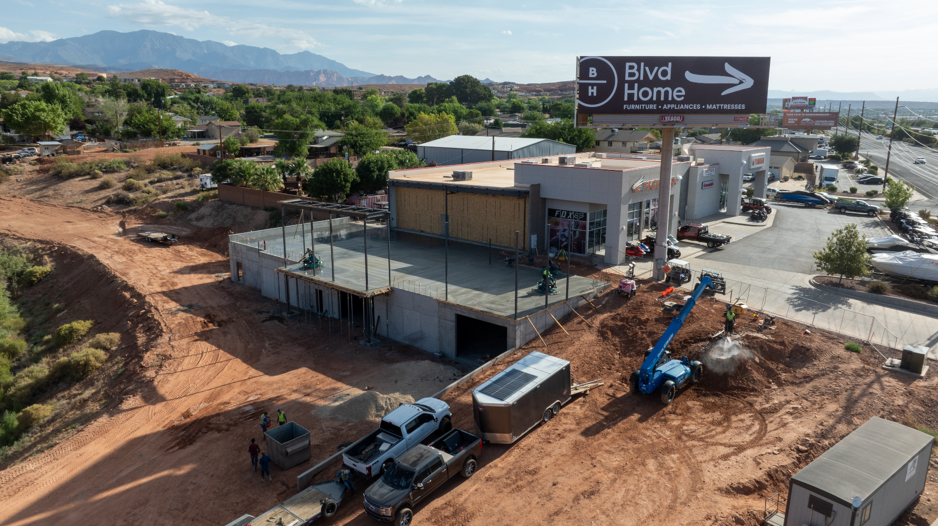
In the construction world of Southern Utah, there's a persistent myth that drone services are reserved for the massive projects — the multi-million dollar highway contracts, the sprawling master-planned subdivisions, the large commercial developments that stretch across dozens of acres. If you're working on a single residential lot in Cedar City or a small commercial build-out in St. George, the assumption is that a drone is a luxury you don't need and can't justify.
That assumption is costing builders money.
The truth is that on a small project, your margins are tighter and your tolerance for error is almost nonexistent. When you're working with limited acreage and a lean budget, a three-foot mistake in grading or a foundation form that's slightly out of alignment isn't just an inconvenience — it's a financial disaster. There's no buffer to absorb it. There's no contingency fat to trim. You either catch it early, or you eat it.
Small projects don't get more forgiving just because they're small. In many ways, they're less forgiving. And that's exactly why aerial intelligence belongs on them.
Think of It as Insurance, Not a Photography Service
The fastest way to reframe how you think about drone data is to stop thinking about it as photography. You're not hiring a drone operator to take pretty pictures of your job site. You're buying insurance against rework.
In Southern Utah, terrain is deceptive. A lot that looks flat from the road might have complex subsurface drainage patterns that don't reveal themselves until you've already started forming. A hillside build near the mountains can have elevation variations that ground-level spot checks simply can't capture comprehensively. When you're walking a site and pulling measurements by hand, you're seeing the project in fragments — individual data points stitched together by memory and assumption.
A single drone flight changes that entirely. In under thirty minutes, we can produce a comprehensive, high-resolution orthomosaic map of your entire site. That map can be overlaid directly onto your digital plans, letting you compare what exists on the ground against what your engineer drew up. Discrepancies that would have taken weeks to surface the old way become visible before the concrete truck ever leaves the yard.
The most expensive words spoken on any job site are "tear it out and start over." Catching one grading error before the pour doesn't just save time — it pays for the drone service ten times over. Aerial data is how you make sure those words never get said on your project.
The Two Things Aerial Services Actually Deliver
There are two distinct layers of value in what we provide, and understanding both helps you see why this works for projects of any scale.
The data layer is where the technical precision lives. Using high-accuracy mapping, we produce topographic data, cut-and-fill calculations, and site measurements that keep your engineers grounded in reality and your grades precise. This isn't approximate — it's survey-grade data captured efficiently and delivered in formats your team can actually use. For a project where every foot of material cost matters, having accurate topographic data from day one isn't a luxury. It's a foundation. You can learn more about what those deliverables actually look like in our definitive guide to drone 3D modeling deliverables.
The visual layer is where the communication value lives. Beyond the raw data, we provide high-resolution, professional-grade progress photography that tells a clear story about where your project stands. Whether you're updating a client on the progress of their new home, keeping a remote investor informed on a commercial remodel, or simply building a documented record for your own files, a single aerial image captures context that fifty ground-level phone photos never could. A bird's-eye view shows relationships — between structures, grades, neighboring properties, access points — that are invisible from the ground.
Together, these two layers mean you're not just getting documentation. You're getting a tool that actively supports decision-making at every phase of the build.
Built for the Southern Utah Environment
Not every drone operator is equipped to work in this region, and that matters more than it might seem.
Southern Utah presents a specific set of environmental challenges. High-desert winds can come up fast and shift direction without much warning. Elevation changes between the valley floor and the surrounding terrain create microclimates that affect both flight conditions and data accuracy. The intense sunlight and heat create image capture challenges that operators unfamiliar with the region don't always anticipate. Near the mountains, weather can shift from clear to problematic in a narrow window.
Navigating those conditions consistently — and still delivering clean, usable data — requires more than owning a drone. It requires an understanding of how this specific landscape behaves and how to plan around it. We operate here regularly. We know the wind patterns around the Cedar City basin, the thermal behavior above red rock terrain, and the scheduling adjustments that keep data quality consistent regardless of what the desert decides to do that morning.
Whether your project is a single-acre residential lot or a hillside commercial development, the environmental discipline we bring to every flight is the same.
A Partner on the Site, Not a Vendor in Your Inbox
One of the things that separates working with a local, dedicated operator from booking through a national platform is the relationship that comes with it.
We're not going to send you a link to a file folder and disappear. We believe that the first time you see aerial data from your own job site, you should be standing right there watching it happen. For your initial site visit, we come out in person. We walk the site with you, get eyes on what you're working with, and fly while you watch. You see the coverage, the angles, and the data in real time — on a monitor, not a thumbnail two days later in your email.
That kind of transparency builds confidence in the data. When you can watch your site being mapped and see the resolution and accuracy firsthand, you understand exactly what you're working with. That's the foundation of a working relationship — and it's how we earn the next project, not just the first one.
The Site Risk Scorecard
Before you break ground or bring in a surveyor, work through the checklist below. Check every statement that applies to your current project. Your score will update as you go.
Click each item that applies to your project. The scorecard will score you in real time and tell you where you stand.
Drop your name and email below and we'll send your scorecard results straight to our team. We'll follow up with a straight answer on whether aerial services make sense for your project — no sales pitch, no obligation.
The Bottom Line
The question isn't really whether your project is big enough for drone services. The question is whether you can afford to find out the hard way that it needed them.
Southern Utah's construction market is active and the margins are real. The builders who are consistently protecting those margins are the ones who've stopped treating site documentation as an afterthought and started treating it as part of the build process. Aerial data isn't a line item you add when the budget is comfortable. It's a tool that protects the budget you already have.
If you're working on a project in the Cedar City or St. George area and want to know whether aerial documentation makes sense for your specific site, reach out to BlueCrest Aerial. We'll give you a straight answer — and if it's not the right fit, we'll tell you that too.